

East End
Difficulty: ⭐⭐⭐⭐⭐
Scenery: ⭐⭐⭐⭐
Mileage: 4 mi
Region: Scottsdale McDowell Sonoran Preserve
Elev. Gain: 1,400 ft
When to Go: Oct—Mar
Avg. Time: 2 hr
Parking: Large paved lot
Type: Out + Back
Pass: None
Know Before You Go:
Right next to the popular Tom's Thumb hike, this trail is hardly trafficked providing much more solitude after you reach the fork in the trail.
Be aware - scrambling is involved through sharp brush and loose terrain near the end of the trail.
Downloading an offline map ahead of time is necessary as there are no markers and the trail is difficult to find.
This is prime rattlesnake territory; exercise caution.
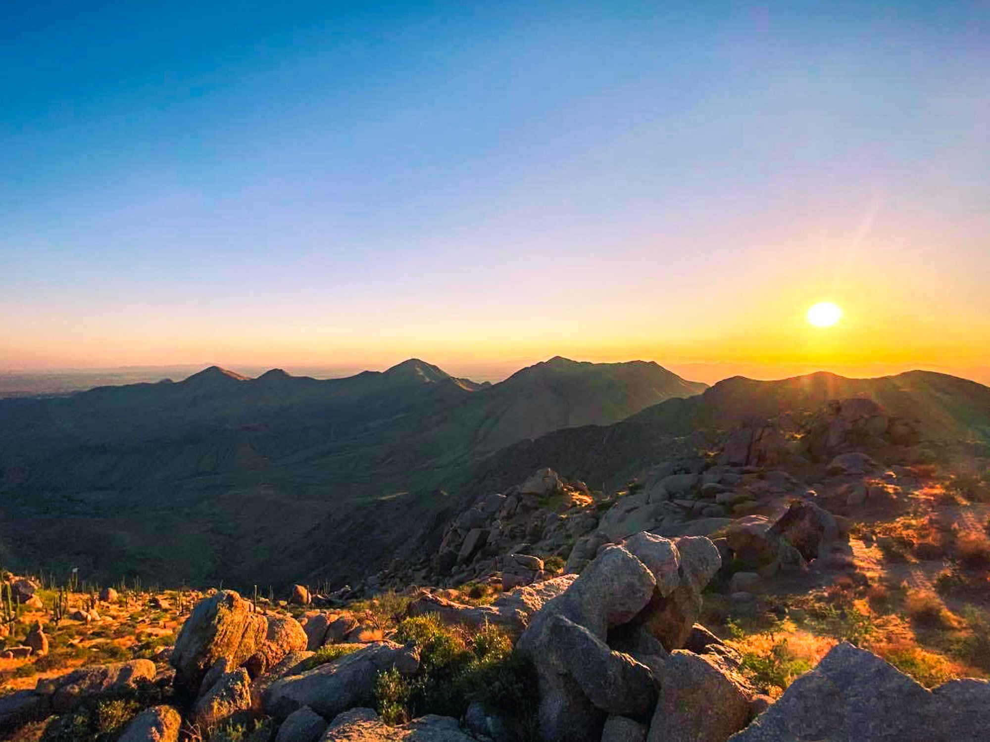
East End is the highest point in the McDowell Range offering grand views.
As of 2021, the trail is marked closed on AllTrails and was removed but is still accessible to hikers. Feel free to follow this recording at your own risk.
